


For several years, Google Maps has endeared itself into the hearts of smartphone users as the foremost navigation system. It has become virtually everyone’s best friend.
But Google is not done just yet. The tech giant is looking to take the platform a notch higher and add a bunch of other cool features that will improve your commuting experience.
The app is bundling onto its navigation platform features that allow users report incidents, accidents and other commuting related events directly from their app.
Prior to this reveal, Google dabbled into offering users a range of functions with its other navigation platform, Waze. And as an edge over Maps, Waze allowed its users provide real-time traffic information that was visible to other users. These include avoiding police traps, accidents, traffic jams, wrecks, road obstructions and other events.
These are features users have always wanted on Google Maps, but had to do without until recently.
Since last year, Google has been incorporating both platforms by bringing some of Waze’s features onto Maps which became available to Android users early this year.
These new features include an option for users to report commuting challenges including crashes, construction, slowdowns, speed traps, and more. It can be accessed via the comment button added underneath the compass button in the upper right section of Maps.
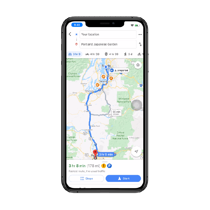
Now, Google is rolling out these features across board – to include iOS users. Beyond these basic features, Google is also adding four more options for both Android and iOS users. Drivers and all road users will now be able to log on comments on construction, lane closures, disabled vehicles, and objects on the road (for example fallen loads causing obstruction).
And to ensure that the reports are on the go and with minimal risk to the driver, the buttons for the reporting are big and automatically confirms even if left unpressed.

Once comments are added, they will be visible to all users plying that same route. The number of people that have reported an incident will also be visible to confirm it’s authenticity.
Whether you’re driving or using public transportation, these new features will most definitely come in handy. This is because unlike the already-existing color codes for traffic congestions – yellow, orange and red – which take long to reload and update, these updates are accessible in real time from fellow commuters/drivers like you.
This saves you from spending unnecessary time in traffic in a city like Lagos that is traffic-ridden. But beyond that, it could go a long way in helping to prevent you from driving towards danger (in situations of petrol tanker fall, for example) or allow you adapt to and prepare for whatever issues that may present themselves ahead.
This new feature is also arguably a better option to the traffic monitoring programs on radio stations, if well utilised. And the exciting thing is you don’t need another app, it’s all available on your Maps.
That said, as Google continues to incorporate its features onto Maps, Waze is still offered as a Standalone app. And if this symbiosis continues, it would be great to see Google add the police trap option on Maps. This might go a long way in curbing the menace of unlawful arrest and extortion of Nigerians by the notorious police unit, Special Anti-Robbery Squad (SARS).
Until then, Google has announced that these new features will be rolled out to both iOS and Android users in the next couple of days.
